
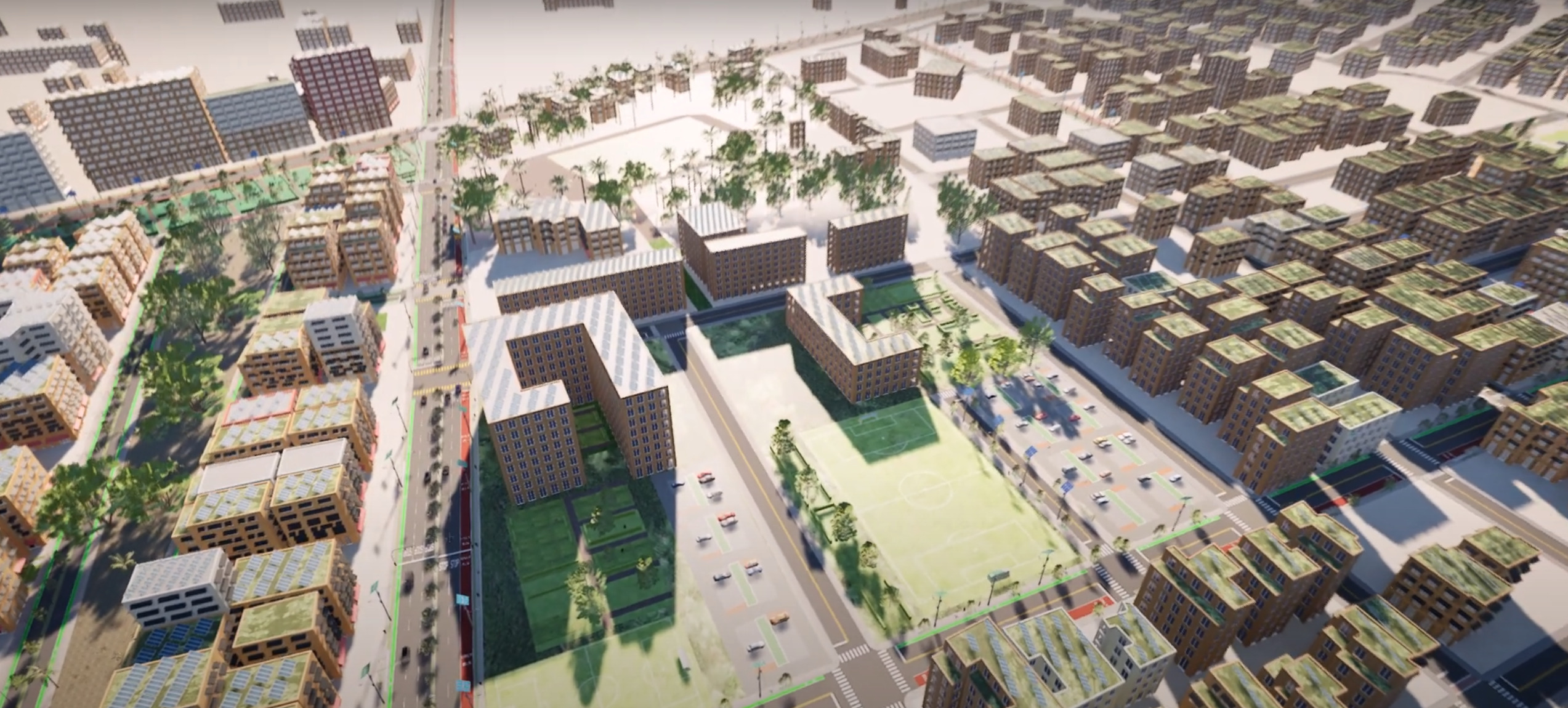
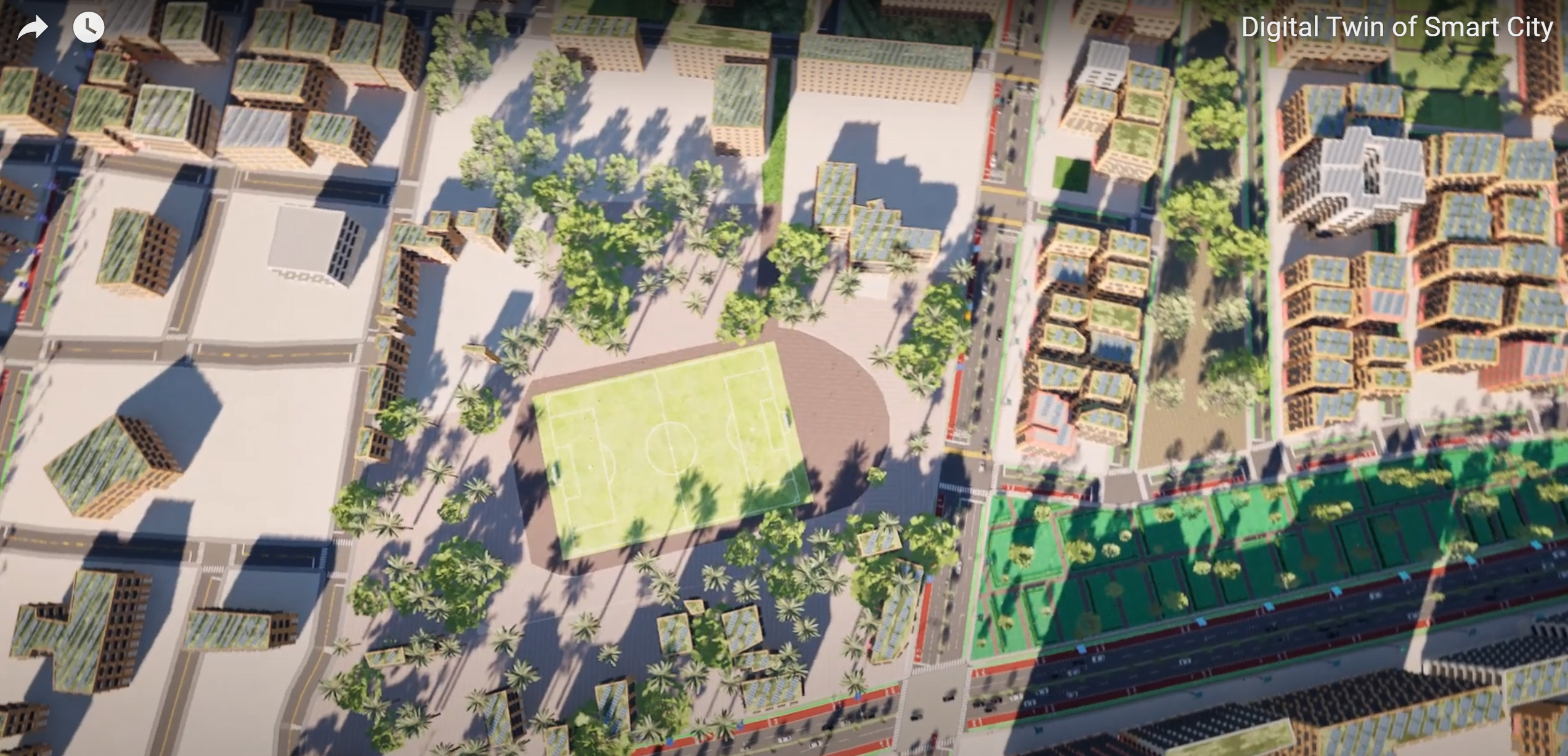
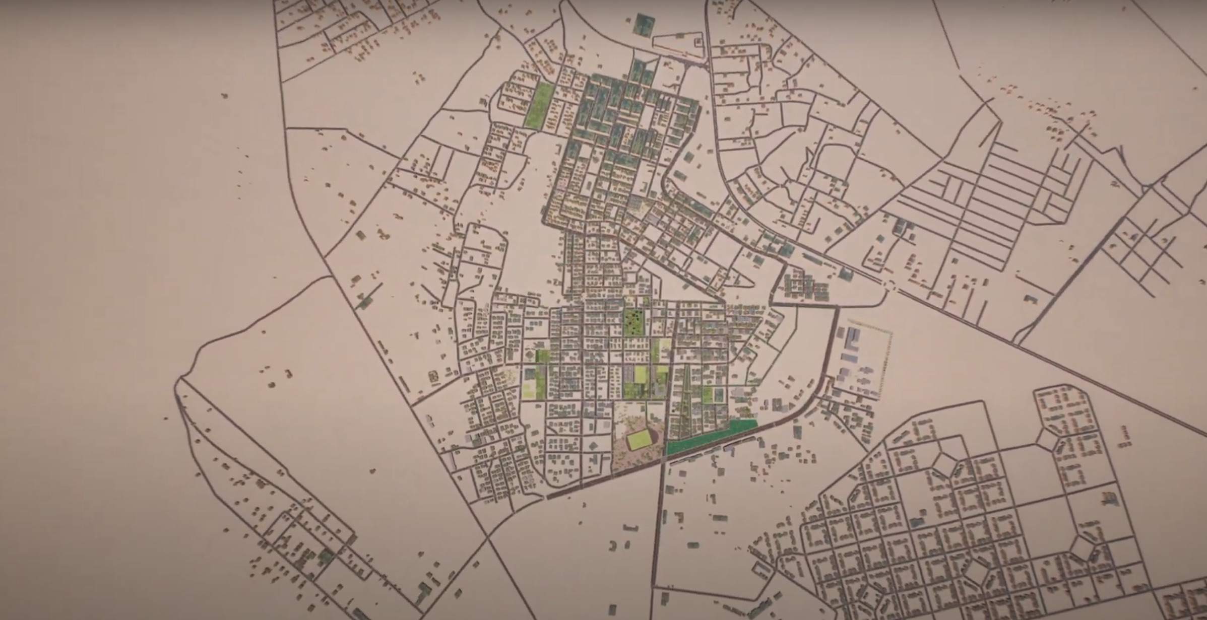
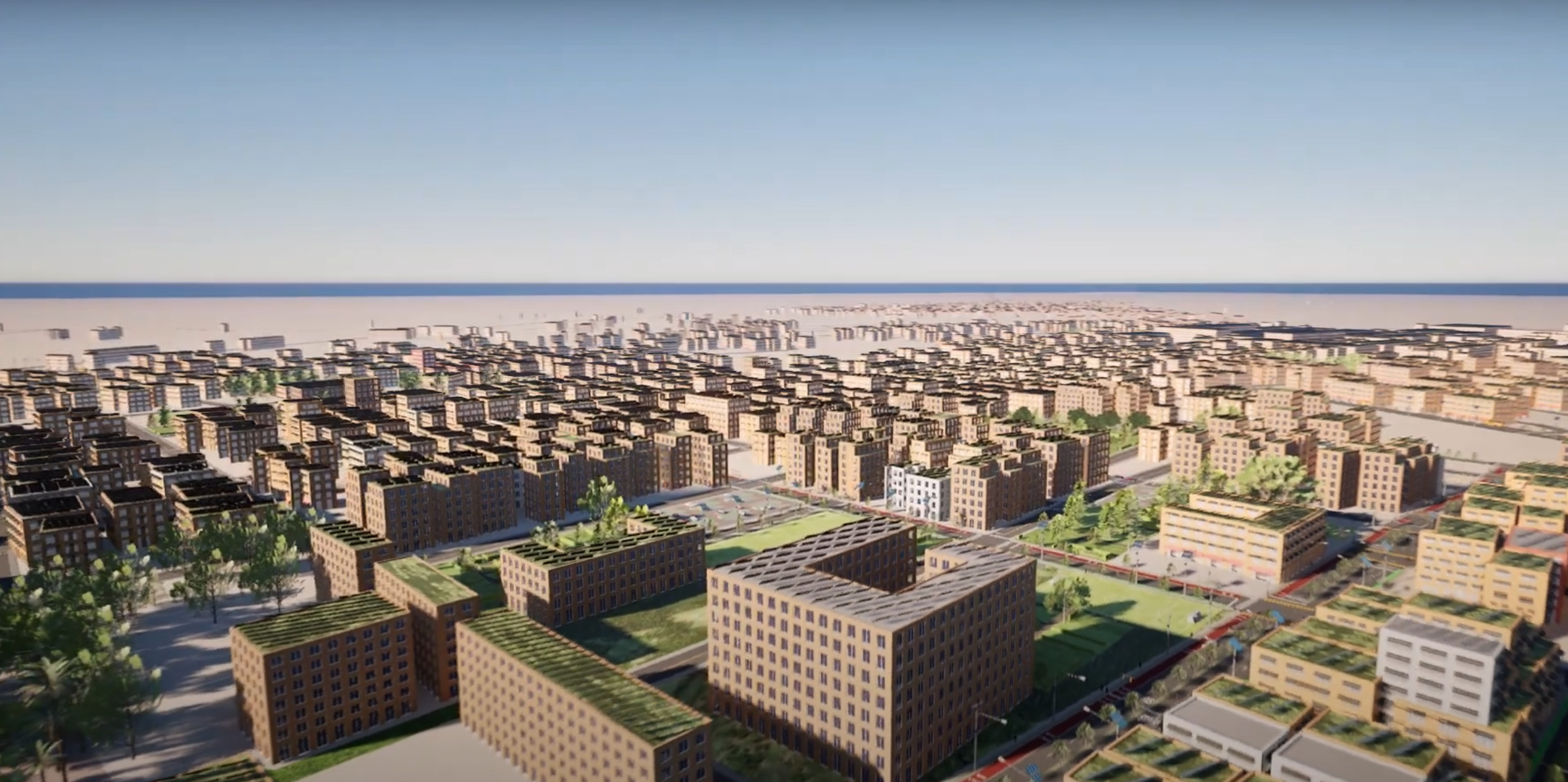
This project presents a Digital Twin of Sluq, Libya, implemented using cutting-edge geospatial tools. ArcGIS Pro and ArcGIS CityEngine were used to create highly detailed and procedurally generated 3D urban models from GIS data, laying the foundation for the digital twin.
The 3D models are embedded into a responsive, web-based interactive platform powered by React.js and the ArcGIS JavaScript API, enabling real-time exploration and analysis of the city's urban layout.
Key Features:
-
Procedural 3D modeling via ArcGIS CityEngine, enabling rapid generation of urban environments using CGA rules and GIS datasets EsriWikipedia.
-
Geospatial data integration using ArcGIS Pro to accurately model Sluq’s buildings, streets, and land use.
-
Interactive Web Visualization on a React.js framework using ArcGIS JS API for immersive 3D navigation and planning tools.
This digital twin setting empowers planners and stakeholders to simulate scenarios, engage in data-driven decision-making, and foster urban planning strategies before implementing in the real city.